
Satellite Imagery and the Illusion of Fresh Damage
As tensions rise between Yemen’s Houthi rebels and Saudi Arabia, social media platforms are overwhelmed by conflicting visual evidence. Many users share clips that appear to show recent combat scenes. However, fact-checkers reveal that a significant portion of this content is outdated. These repurposed videos often lack clear timestamps or location markers. Consequently, viewers struggle to distinguish new events from historical footage. The digital noise complicates public understanding of the ongoing regional conflict.
Latest news
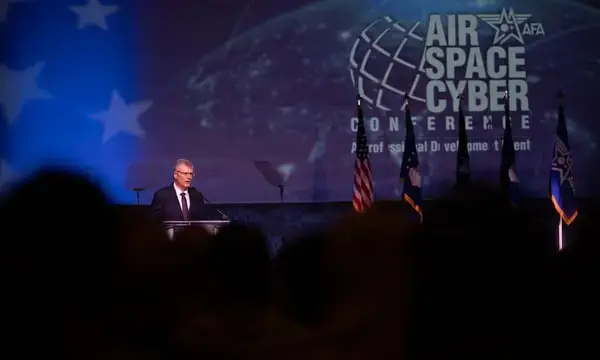 Space Security Landscape Deteriorates Rapidly Amid New US Deployments
 Wife of US Scholar Detained in China Urges Trump to Address Case During Summit
 Palestinian Man Dies in Israeli Custody After Year of Administrative Detention
 Sweden's Centre-Left Coalition Wins Election as Right-Wing Bloc Narrowly Defeated
The surge in misleading media coincides with intensified military exchanges. Both sides utilize digital channels to shape narratives. Old satellite images of pumping stations and other infrastructure are frequently reposted. Presenters claim these visuals capture the current state of damage. In reality, the imagery may date back years. This practice blurs the line between verified reporting and speculative storytelling. The result is a fragmented information landscape for global audiences.
Analysts note that satellite data plays a crucial role in modern conflict monitoring. Yet, without proper context, static images can be misleading. A specific example involves a pumping station shown in high resolution. While the structure appears damaged, the photo was taken long before the latest skirmishes. Fact-checkers emphasize the need for metadata verification. Users often assume that high-quality visuals equal recency. This assumption leads to widespread misinterpretation on major social networks. The gap between visual clarity and temporal accuracy remains a persistent challenge for journalists.
Why Do Outdated Clips Resonate With Audiences?
Human psychology plays a key factor in viral misinformation. Viewers seek immediate visual confirmation of reported events. When text captions align with emotional expectations, skepticism drops. Old clips of explosions or troop movements fit this mold perfectly. They provide tangible proof of chaos without requiring deep analysis. As a result, these videos spread rapidly across platforms. Fact-checkers work to trace the origin of each file. They compare pixel patterns and background details against known archives. This process helps identify when a clip first appeared online.
The reliance on unverified visuals creates a feedback loop. News outlets sometimes cite social media posts as primary sources. If the underlying video is old, the error propagates quickly. Experts call for stricter labeling standards for conflict footage. Clear timestamps and geolocation tags can reduce confusion. Until such norms become standard, the public must remain cautious. The Houthi-Saudi conflict serves as a stark reminder of this digital vulnerability. Future engagements will likely see even more sophisticated reuse of media assets.
Frequently Asked Questions
How do fact-checkers identify old conflict videos? Experts analyze metadata and compare visual elements against previous archives. They look for unchanged background features or lighting conditions. Cross-referencing with known historical dates confirms the timeline.
Why is satellite imagery often misleading in this conflict? Static images do not indicate the time of capture. Without explicit date stamps, viewers may assume recent damage. Contextual data is essential to interpret the scene accurately.
What impact does this disinformation have on the public? It shapes perception of war intensity and progress. Misleading visuals can exaggerate or minimize actual events. This influences public opinion and diplomatic responses globally.