
How El Niño Reshapes Winter Storm Tracks
Federal meteorologists predict a milder and wetter winter across much of the United States this season, driven by the ongoing El Niño climate pattern. The National Oceanic and Atmospheric Administration’s seasonal outlook indicates increased precipitation and above-average temperatures from December through February, particularly in the southern tier of the country. While snowfall may not increase uniformly, the combination of more moisture and warmer air could lead to varied winter weather impacts.
Latest news
 US Steel Prices Surge to Four‑Year Peak Amid Trump Tariffs
 Wall Street's AI spending spree faces growing skepticism
 Geothermal Energy Gains Rare Bipartisan Support Amid AI-Driven Power Surge
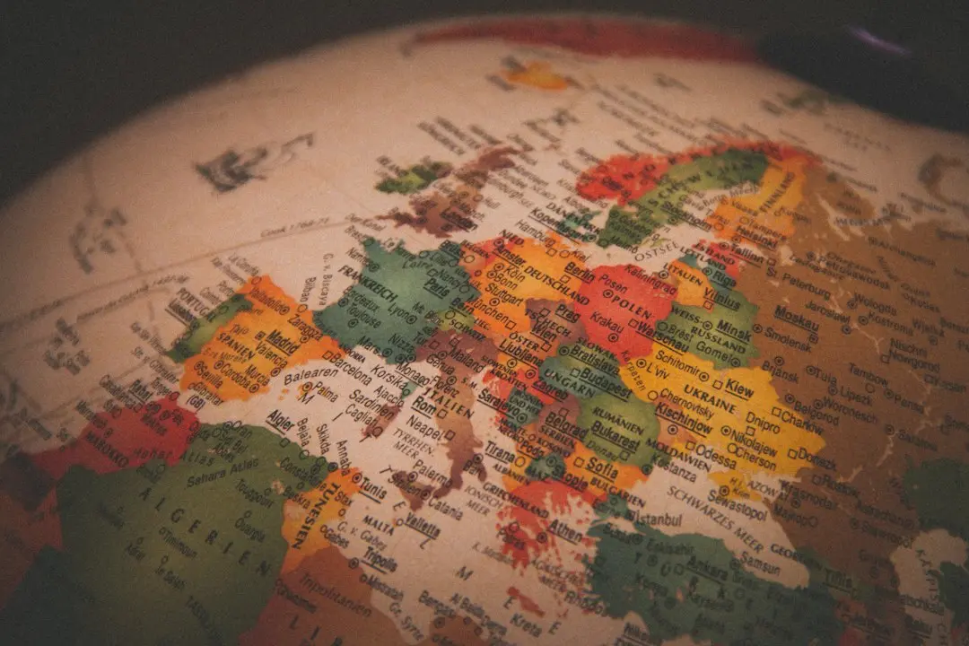 AI Sovereignty: Europe’s Bid to Catch Up with U.S. and China
El Niño, characterized by warmer-than-average sea surface temperatures in the central and eastern Pacific Ocean, tends to alter the jet stream, steering storm systems farther south and increasing moisture transport over the southern U. S. This shift often results in wetter conditions from California to the Carolinas, while the northern states may experience milder temperatures with less frequent Arctic outbreaks. Meteorologists note that although total snowfall might not rise, the timing and type of precipitation could change, with more rain or wet snow in some areas.
Will This Winter Bring More Snow or More Rain?
During El Niño winters, the subtropical jet stream strengthens and extends eastward, creating a pathway for Pacific storms to deliver heavy rainfall to the Southwest and Southeast. This pattern contrasts with La Niña, which typically favors drier conditions in the south and colder, snowier weather in the north. Current oceanic and atmospheric indicators show El Niño is moderate to strong and expected to persist through the winter, reinforcing the forecast for above-average precipitation in the south. Temperature anomalies are projected to be most pronounced in the northern Plains and Upper Midwest, where readings could run several degrees above normal.
The answer depends heavily on location and elevation. In higher terrain of the West, such as the Sierra Nevada and Rocky Mountains, increased moisture could still translate to abundant snowpack if temperatures remain cold enough at altitude. However, in lower-elevation regions like the Southeast or mid-Atlantic, warmer air masses may cause precipitation to fall as rain instead of snow, even with increased storm activity. Forecasters caution that while seasonal trends are reliable, individual storms can still produce significant snowfall during brief cold snaps, especially in the Northeast and Great Lakes regions.
What is El Niño and how does it affect U. S. weather? El Niño is a climate pattern marked by unusually warm ocean temperatures in the equatorial Pacific, which disrupts normal atmospheric circulation and shifts global weather patterns, often leading to wetter winters in the southern U. S. and warmer conditions in the north.
Frequently Asked Questions
Does a warmer winter mean less snow overall? Not necessarily; while warmer temperatures reduce snow likelihood in many areas, increased moisture from El Niño can still support heavy snowfall in colder regions or at higher elevations, depending on storm timing and temperature profiles.
How confident are forecasters in this winter’s outlook? Confidence is moderate to high for temperature and precipitation trends due to the strong El Niño signal, though local variations and short-term variability mean that extreme events can still occur outside the seasonal average.